| Location | 46.942, -119.99 Google Map |
|---|---|
| Region | Columbia Plateau |
| Easiest Level | intermediate |
| Best Wind | #1 Best & dominant onshore W-by-NW (Sand Hollow), #2 E (Wanapum), #3 N (Vantage Boat Launch, where the iWindsurf sensor is) |
| Fee | #1 Free for Sand Hollow Campground, #2 Discovery Pass required for Wanapum State Park | #3 Free for Vantage Boat Launch |
| Webcam | |
| Author | Guislain |
Vantage
PROs: "If there is wind you can always windsurf at Vantage, regardless of the wind direction."
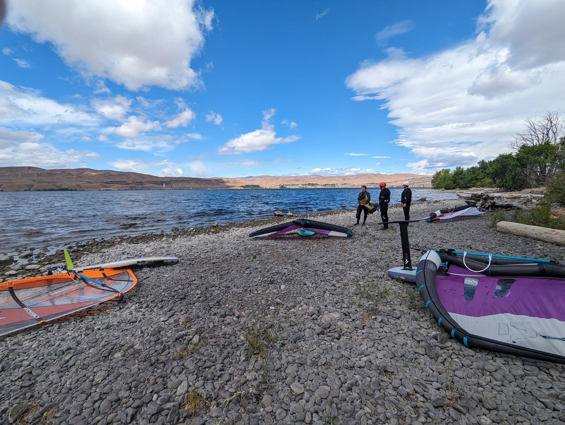
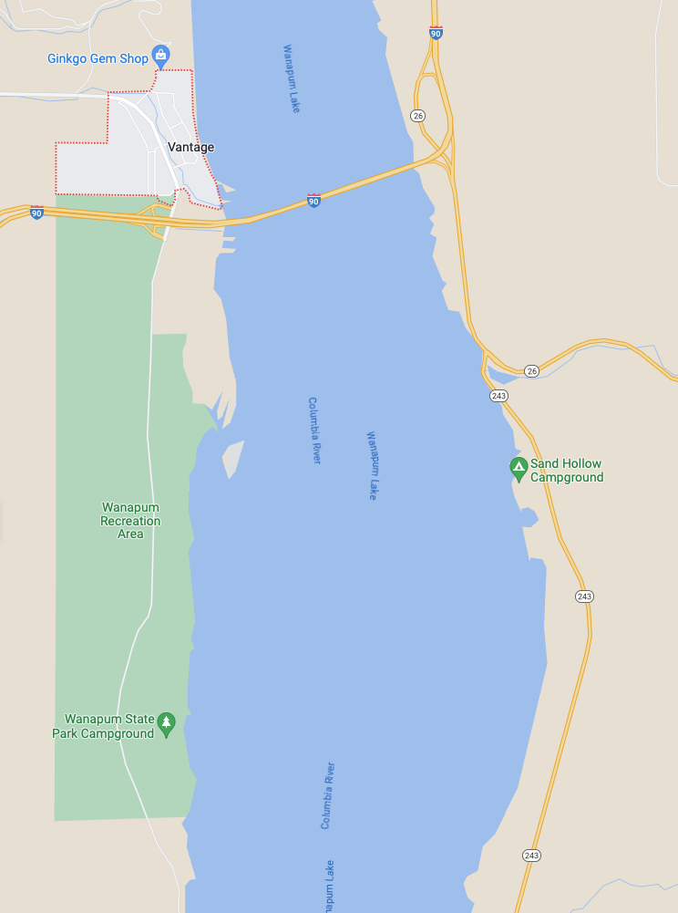
- Vantage has the unique characteristic to have 3 launch sites literally within 7 min of each other, each best suited for different wind directions.
- When ON, the dominant W-by-NW thermals are very predictable, starting from ~1p and steadily increasing until 5p when they can be quite strong, before they start to drop before sunset.
- But at sunset, you get an encore with katabatic winds
- NOTE: Why are Vantage winds so predictable? As the mostly sea-level cool air on the west side of the Cascades rises towards Snowqualmie Pass, it cools down, compresses, and drops its moisture. Once it reaches the 3,000ft pass, it enters the Kittitas Valley a typically much warmer 1,500ft high-desert Columbia Plateau shaped like a corridor. As the air warms up, it expands and accelerates down the valley which acts as a funnel towards the Whisky Dick Ridge , where PSE Wild Horse Wind Farm has 149 wind turbines overlooking the Columbia River at Vantage. From the edge of the canyon, it drops down into the canyon walls in a swooping motion across the Columbia River reaching the Sand Hollow shoreline unobstructed.
- TIPs:
- Check the Grant County PUD website for conditions.
- If the temperature in Ellensburg is 15°F more than Seattle/Kirkland (i.e. around Lake WA), which is pretty common 3 seasons out of the year, then you can be pretty sure that the Kittitas thermals will be ON.
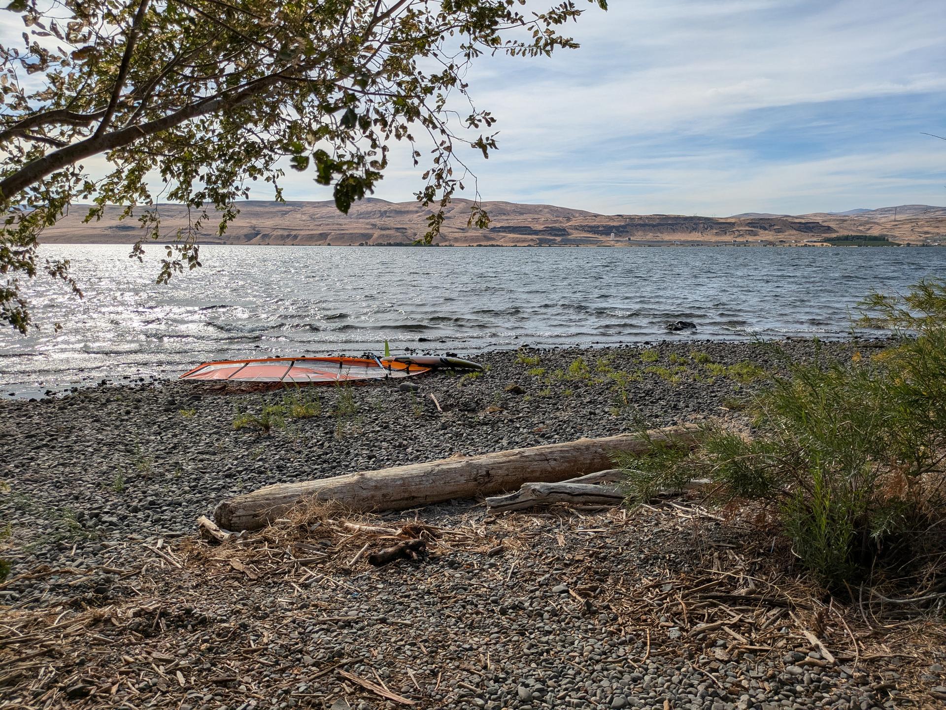
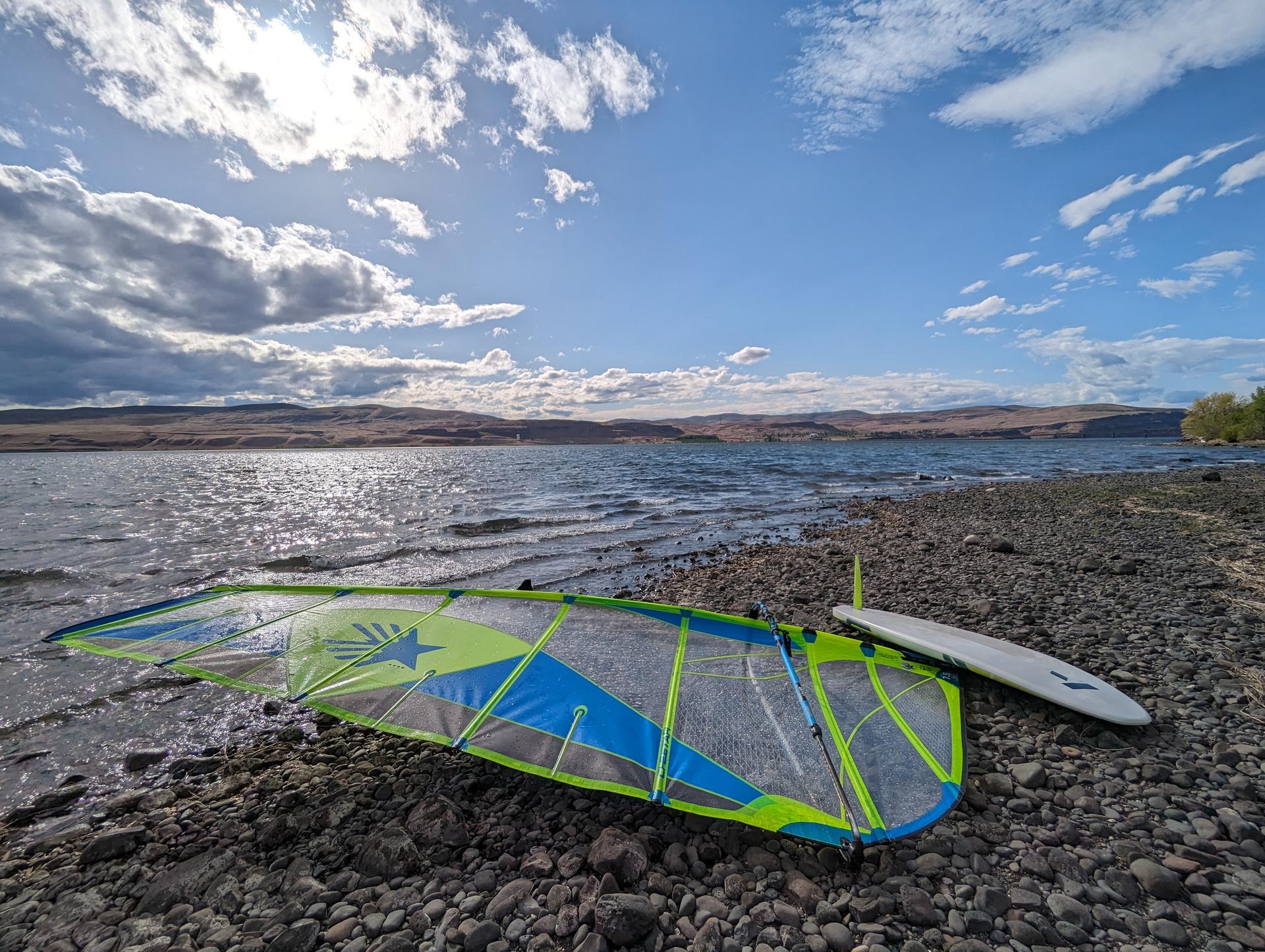
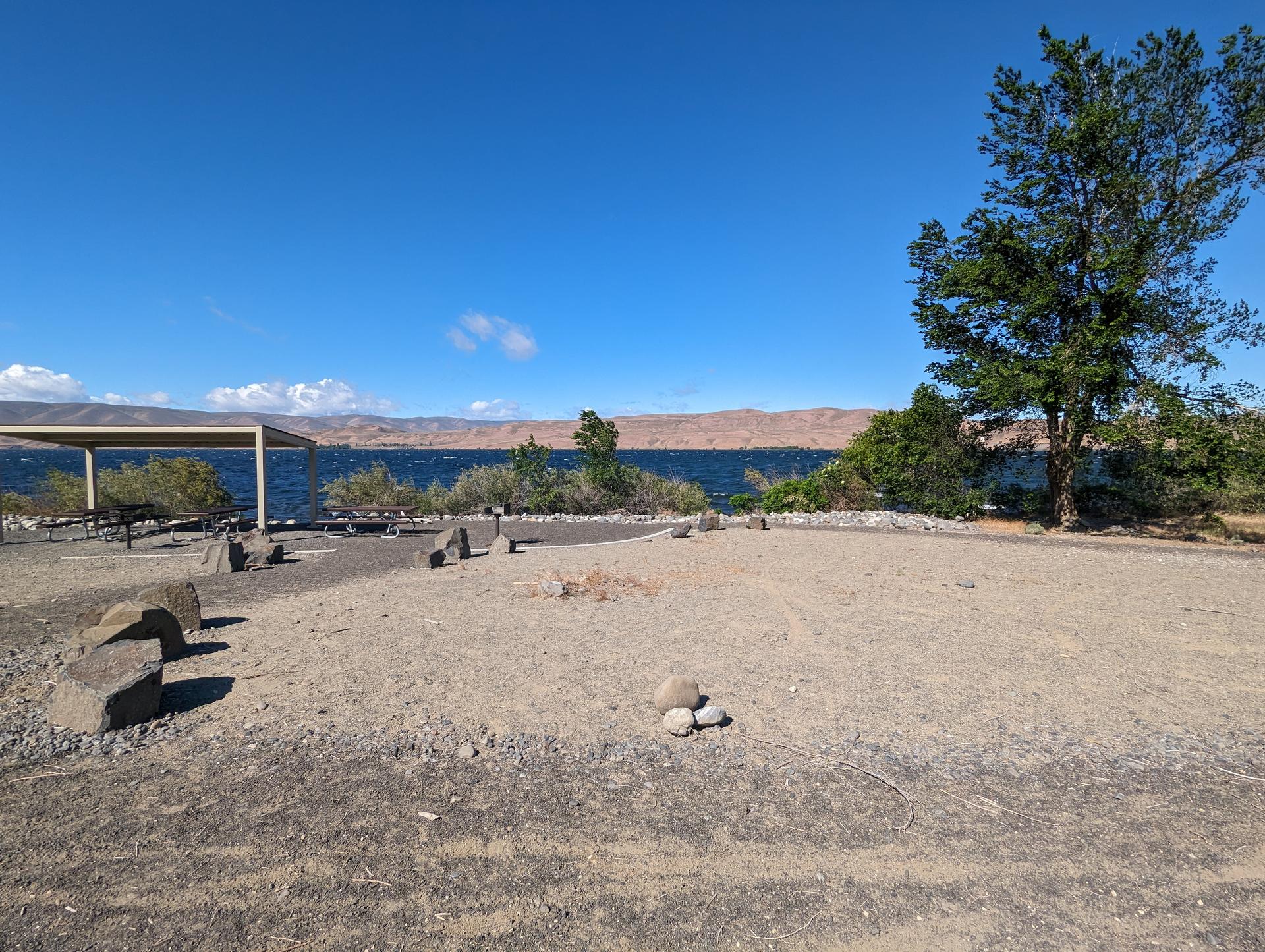
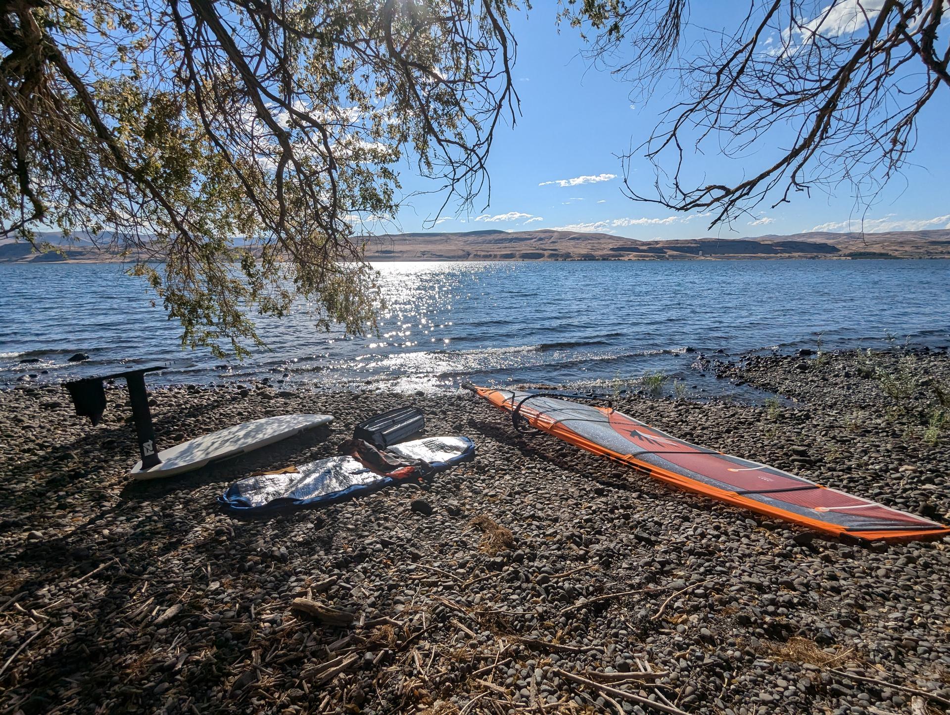
- The entrance of the (dry) Sand Hollow Campground with its 3 picnic shelters is the best place to rig your gear (on the always empty handicap parking stall to avoid knicking your sail on gravel).
- Wearing booties for protection on the gravel and traction on the smooth rocks is highly recommended.
- Because the Kittitas thermals are shaped like a bell curve, plan ahead in order to "hit your window" at the opportune time, based on your skill level and your gear.
- The dominant winds are W by NW thermal and can be very strong (force 4 to 6 on Beaufort scale, between 15 to 30 knots); it is the Columbia River after all...
- Since the Vantage iWindsurf sensor is at the Vantage boat launch on the western shore - in the wind shadow of the canyon - it can be misleading and not representative of the conditions on the eastern shore at Sand Hollow, so balance data from that sensor with data from these other two upwind sensors in the Kittitas valley thermal channel:
- Ellensburg iWindsurf sensor, and scroll down to the Wind Statistics for seasonal wind patterns,
- Ryegrass Summit iWindsurf sensor, which is on the Whisky Dick Ridge, and scroll down to the Wind Statistics for seasonal winds patterns.
CONs/Caution: "Windsurfing can be an extreme sport, and Vantage can be such a spot."
- WARNING: Vantage is not a recommended windsurfing spot for beginners. Always have an exit plan, should you get overpowered, break gear or injure yourself.
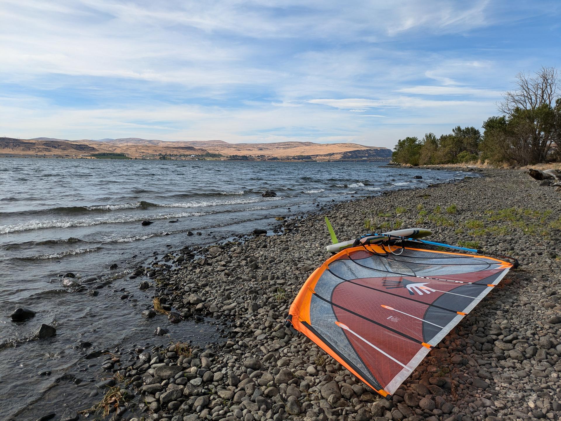
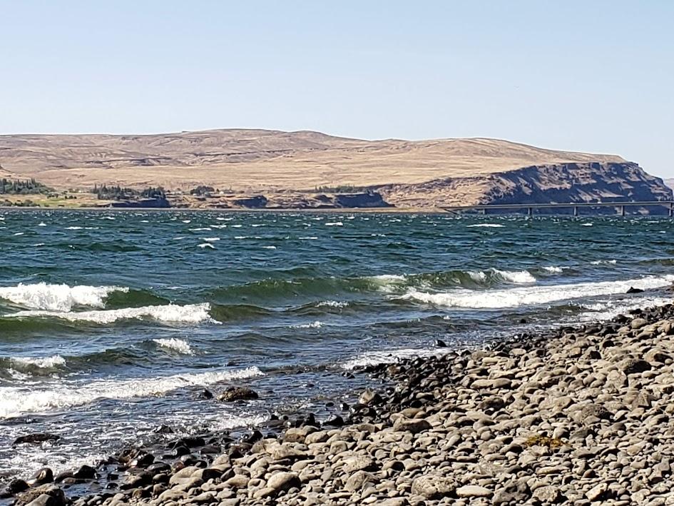
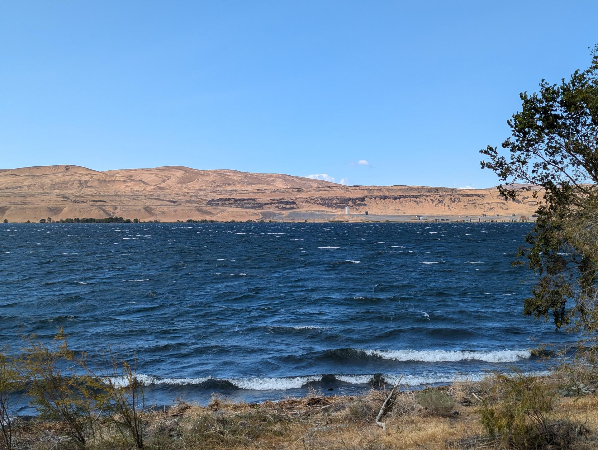
- The Sand Hollow launch site, is very good when the dominant W by NW thermals are blowing, but it can get choppy quickly as the onshore thermals race across the river, and it is not unusual to see whitecaps develop on the eastern half of the Columbia, while none appear on the western half, because that half still is in the wind shadow of the canyon, and the chop has not had time to develop yet. Furthermore, where there are cliffs, the chop will bounce back On such days, driving over the I90 bridge back & forth is a good idea in order to have a birdeye view of the unique local sailing conditions.
-
The Wanapum State Park launch site, is good for NE, E, SE winds, but dangerous when the dominant W by NW thermals are blowing, because once you leave the wind shadow of the canyon, you are likely to get overpowered and blown across the river. If you do, do not panick because:
-
the Wanapum State Park Rangers have a motor skiff and may be able to get to you,
-
if they don't, staying with your board (sailor 101 survival) and trying to drift towards the fairly long Sand Hollow shoreline may be your best option.
-
DISCLAIMER: At Vantage the Columbia River runs North/South and since the dominant winds are N-by-NW winds, it means you will face onshore winds, albeit never dead-on, but some boardsailors do not like that. If that is your case, no problem; don't go.
Water Level
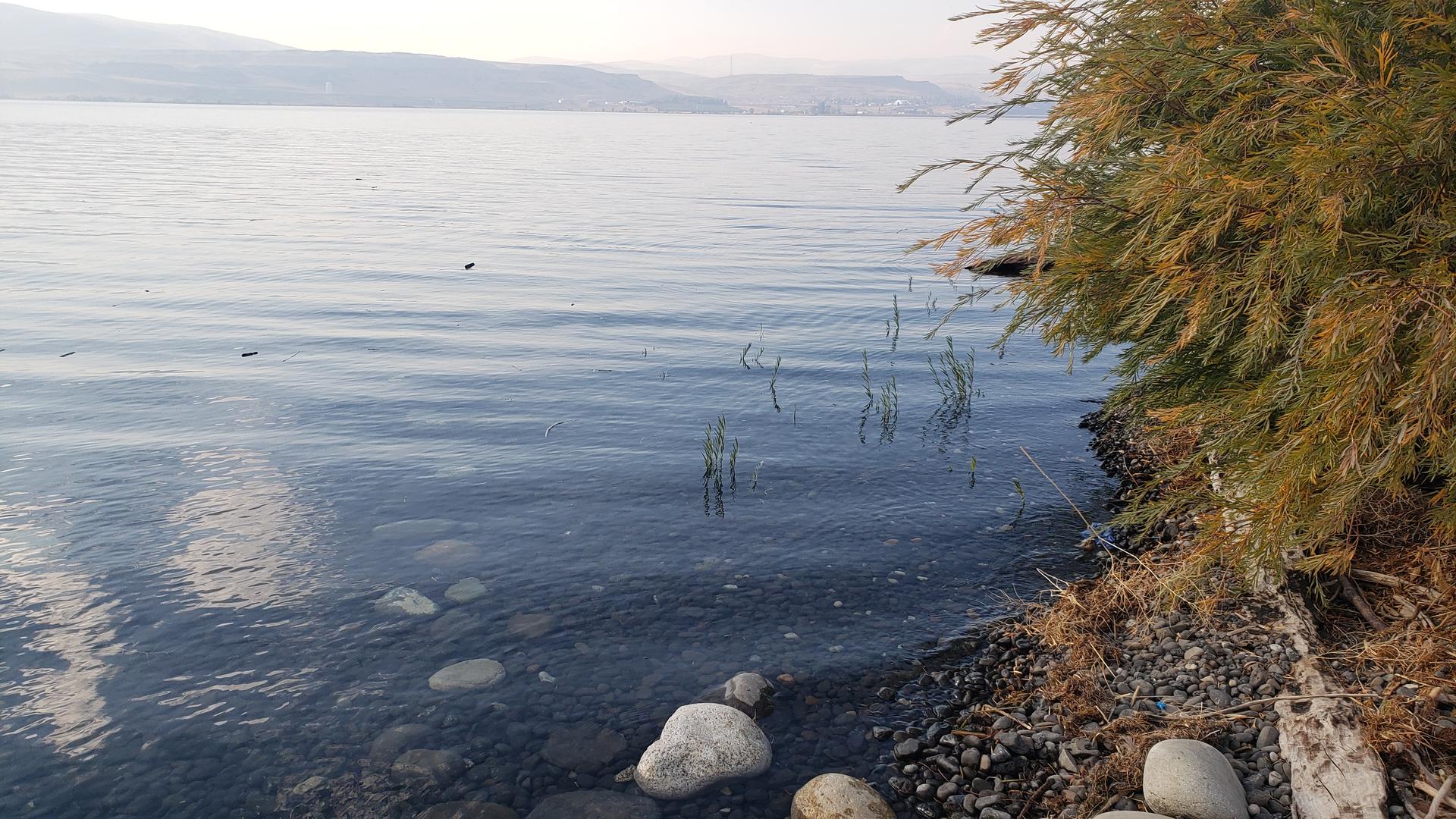
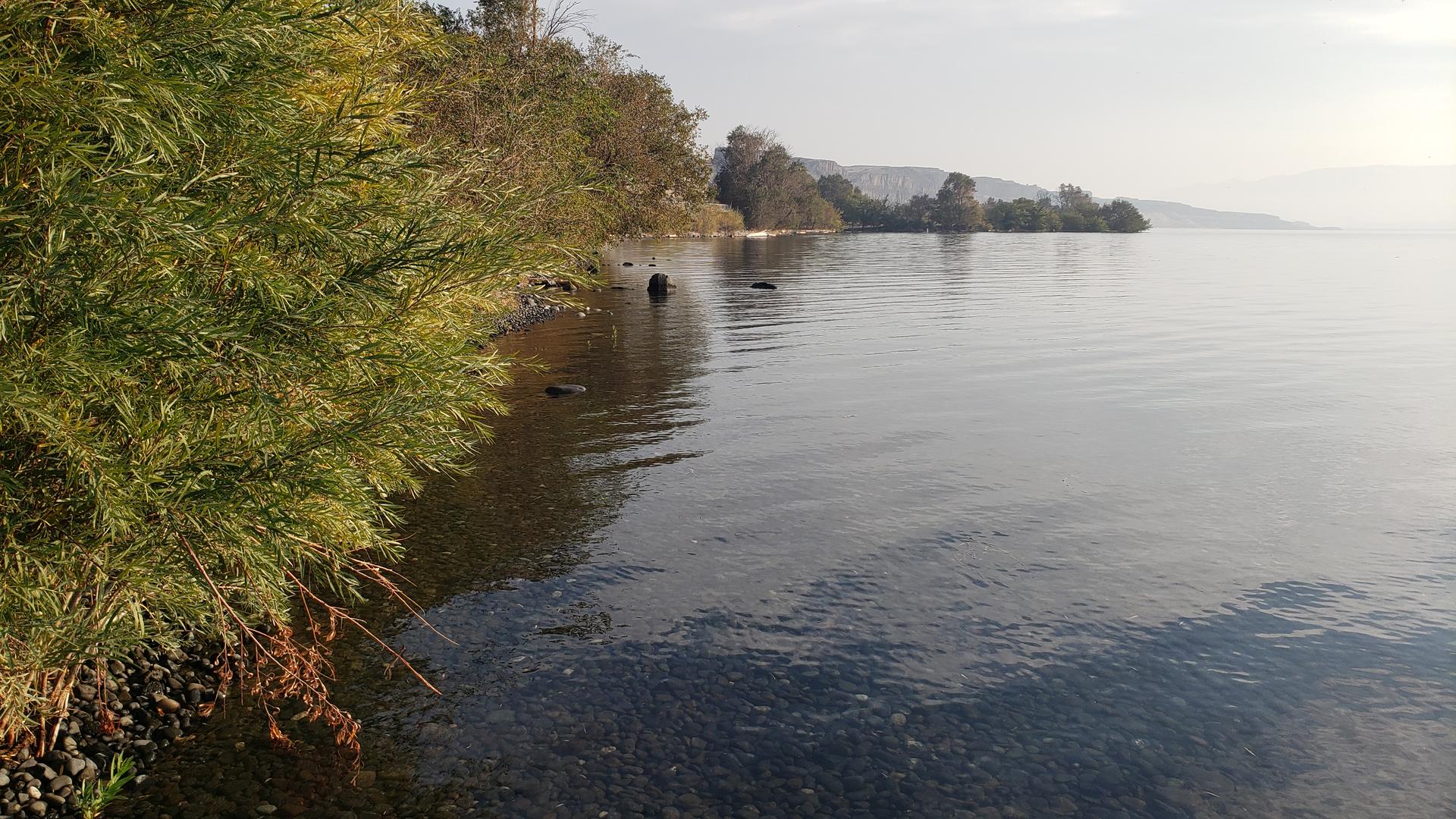
High Water
When the river runs really high, there is no beach to launch from which can be a little tricky when it is really windy.
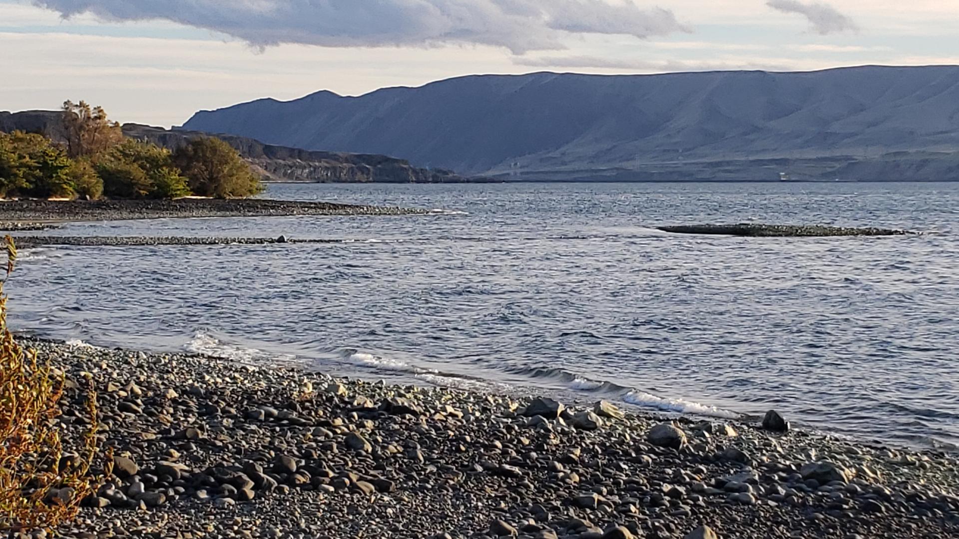
Low Water
When the river runs low, then a rock bar emerges, so finners and especially foilers should beware and know where it is, for when it is barely submerged.
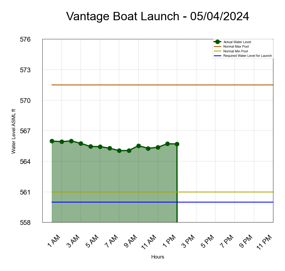
Water Level Information
Grant PUD River Conditions Website: Grant PUD
Gallery
